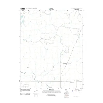
2012 Map of Little Table Mountain
USGS Topo · Published 2012About this map
Hensley Lake and the northern reaches of the Madera Canal define this landscape in the foothills of Madera County. The area is characterized by a series of long-standing family ranching operations, including Shannon Ranch, Davis Ranch, and the Shaubach Ranch, which are interspersed among the drainages of Mud Spring Cr and Hildreth Cr. The presence of the Twentytwo Mile House near the intersection of several local routes suggests a legacy of early transport and rest stops in this cattle-ranching corridor. To the south, the terrain rises toward the distinct landmarks of Adobe Hill and Little Table Mountain, while the industrial side of the regional economy is represented by the Urrutia Feedlot near Four Corners. This document provides a record of the rural infrastructure and named property boundaries that continue to shape this portion of the San Joaquin Valley periphery.
Find a feature on this map
32 named features on this map. Tap any name to fly to it.
Don’t see what you’re looking for? This feature index may not catch every label — zoom into the map to look around manually.
Map Details
Editions of this 2012 Little Table Mountain Map
This is the sole edition of this map. No revisions or reprints were ever made.
Other maps of this area

1912 · Mariposa
USGS Topo · 1:125,000

1916 · Sulphur Springs
USGS Topo · 1:24,000

1919 · Sulphur Springs
USGS Topo · 1:31,680

1919 · Little Table Mountain
USGS Topo · 1:31,680

1921 · Daulton
USGS Topo · 1:31,680

1922 · Lanes Bridge
USGS Topo · 1:31,680

1922 · Friant
USGS Topo · 1:31,680

1922 · Gregg
USGS Topo · 1:31,680

1942 · Raymond
USGS Topo · 1:62,500

1942 · Daulton
USGS Topo · 1:24,000