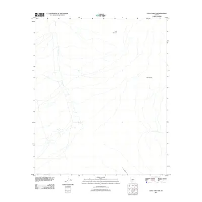
2011 Map of Little Table Top
USGS Topo · Published 2011About this map
Vekol Wash serves as the central drainage system for this arid expanse in the Sif Oidak District, cutting a prominent path from the northwest toward the southeast. The landscape is defined by the sharp verticality of isolated peaks rising from the desert floor, specifically Black Mountain in the north and the namesake Little Table Top to the east. These geological features are typical of the basin and range province, where steep-sided volcanic or sedimentary formations provide the only significant relief in an otherwise flat alluvial plain. The 2011 survey reveals a stark, undeveloped environment with minimal human infrastructure, emphasizing the natural hydrology and topographical landmarks that have guided travelers through this part of the Sonoran Desert for generations.
Find a feature on this map
3 named features on this map. Tap any name to fly to it.
Don’t see what you’re looking for? This feature index may not catch every label — zoom into the map to look around manually.
Map Details
Editions of this 2011 Little Table Top Map
This is the sole edition of this map. No revisions or reprints were ever made.
Other maps of this area

1941 · Vekol Mountains
USGS Topo · 1:62,500

1942 · Vekol Mountains
USGS Topo · 1:62,500

1946 · Antelope Peak
USGS Topo · 1:62,500

1948 · Antelope Peak
USGS Topo · 1:62,500

1951 · Estrella
USGS Topo · 1:62,500

1953 · Ajo
USGS Topo · 1:250,000

1957 · Ajo
USGS Topo · 1:250,000

1958 · Ajo
USGS Topo · 1:250,000

1958 · Kaka
USGS Topo · 1:62,500

1962 · Ajo
USGS Topo · 1:250,000