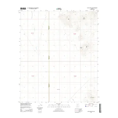
2014 Map of Little Table Top
USGS Topo · Published 2014About this map
The high desert landscape of south-central Arizona is defined by the stark separation between expansive basins and isolated volcanic peaks. Vekol Valley and Table Top Valley dominate the southern and central sections, providing a broad drainage area for the ephemeral Vekol Wash. These lowlands are framed by the prominent heights of the Table Top Mountains, including the distinct summit of Little Table Top and the dark profile of Black Mtn. The map highlights the intersection of natural and administrative boundaries, as the line between Maricopa Co and Pinal Co bisects the terrain. Modern infrastructure is sparse, represented primarily by Bia-242, while the land is further organized by the Public Land Survey System grids of t8s r1e and t9s r2e. In the far southeast, the foothills of the Vekol Mountains begin to rise from the valley floor.
Find a feature on this map
13 named features on this map. Tap any name to fly to it.
Don’t see what you’re looking for? This feature index may not catch every label — zoom into the map to look around manually.
Map Details
Editions of this 2014 Little Table Top Map
This is the sole edition of this map. No revisions or reprints were ever made.
Other maps of this area

1941 · Vekol Mountains
USGS Topo · 1:62,500

1942 · Vekol Mountains
USGS Topo · 1:62,500

1946 · Antelope Peak
USGS Topo · 1:62,500

1948 · Antelope Peak
USGS Topo · 1:62,500

1951 · Estrella
USGS Topo · 1:62,500

1953 · Ajo
USGS Topo · 1:250,000

1957 · Ajo
USGS Topo · 1:250,000

1958 · Ajo
USGS Topo · 1:250,000

1958 · Kaka
USGS Topo · 1:62,500

1962 · Ajo
USGS Topo · 1:250,000