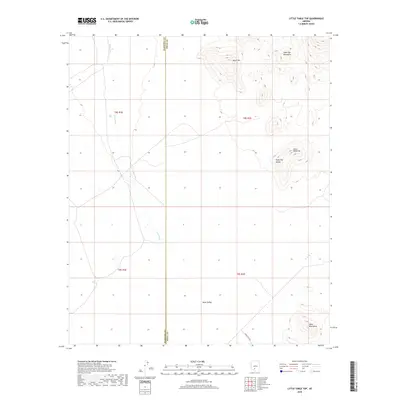
2018 Map of Little Table Top
USGS Topo · Published 2018About this map
Table Top Mountains dominate the northern landscape of this Pinal and Maricopa County borderland, where the desert floor is carved by the extensive Vekol Wash. The terrain transitions from the high elevations of Black Mtn down into the broad expanse of Table Top Valley. This desert reach is defined by its topographic extremes, from the prominent peak of Little Table Top to the low-lying Vekol Valley in the south. The intersection of county lines and township grids, including t8s r1e, provides a precise framework for researchers tracking historical land use and desert hydrology. Aside from the trace of Indian Rte 242 in the southern corner, the area remains largely undeveloped, preserving the natural drainage patterns that flow toward the southern reaches of the Vekol Mountains.
Find a feature on this map
13 named features on this map. Tap any name to fly to it.
Don’t see what you’re looking for? This feature index may not catch every label — zoom into the map to look around manually.
Map Details
Editions of this 2018 Little Table Top Map
This is the sole edition of this map. No revisions or reprints were ever made.
Other maps of this area

1941 · Vekol Mountains
USGS Topo · 1:62,500

1942 · Vekol Mountains
USGS Topo · 1:62,500

1946 · Antelope Peak
USGS Topo · 1:62,500

1948 · Antelope Peak
USGS Topo · 1:62,500

1951 · Estrella
USGS Topo · 1:62,500

1953 · Ajo
USGS Topo · 1:250,000

1957 · Ajo
USGS Topo · 1:250,000

1958 · Ajo
USGS Topo · 1:250,000

1958 · Kaka
USGS Topo · 1:62,500

1962 · Ajo
USGS Topo · 1:250,000