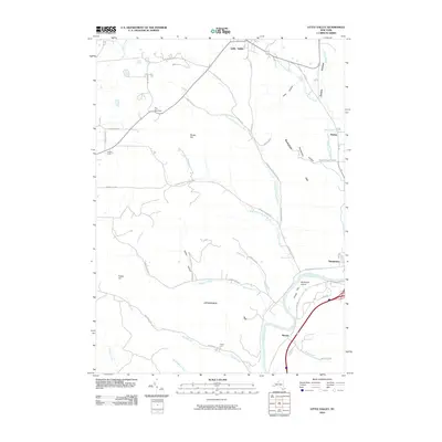
2010 Map of Little Valley
USGS Topo · Published 2010About this map
The Allegheny River valley anchors this 2010 topographic study, carving through the southern reaches of the quadrangle near Salamanca. The landscape is defined by its dramatic relief, where local landmarks like The Narrows and Shutts Hill separate the primary drainage basins. Transport routes like Rte 353 and Dutch Hill Rd follow the natural contours of the land, connecting the northern settlement of Little Valley to the river corridor.
Find a feature on this map
46 named features on this map. Tap any name to fly to it.
Don’t see what you’re looking for? This feature index may not catch every label — zoom into the map to look around manually.
Map Details
Editions of this 2010 Little Valley Map
This is the sole edition of this map. No revisions or reprints were ever made.
Other maps of this area

1900 · Salamanca
USGS Topo · 1:62,500

1922 · Randolph
USGS Topo · 1:62,500

1923 · Randolph
USGS Topo · 1:62,500

1923 · Cattaraugus
USGS Topo · 1:62,500

1924 · Ellicottville
USGS Topo · 1:62,500

1938 · Cattaraugus
USGS Topo · 1:62,500

1938 · Salamanca
USGS Topo · 1:62,500

1941 · Cattaraugus
USGS Topo · 1:62,500

1941 · Ellicottville
USGS Topo · 1:62,500

1943 · Randolph
USGS Topo · 1:62,500