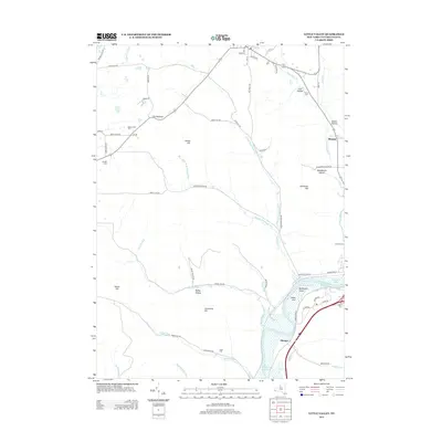
2013 Map of Little Valley
USGS Topo · Published 2013About this map
Allegheny Reservoir dominates the southern landscape of this Cattaraugus County region, where the water flows over the Bucktooth Rapids and past Newtons Eddy. The terrain is defined by a series of steep ridges and secluded valleys, including The Narrows and Dublin Hollow. Several small settlements and family-named landmarks are scattered throughout, such as Elkdale and Shongo, reflecting a rural character that persists into the 21st century. Genealogists may find value in the documented locations of several local burial grounds, including Annis Cem near Little Valley Creek and Maple Grove Cem. The map illustrates the complex drainage network of the area, with numerous runs like Sunfish Run and Sawmill Run carving through the uplands between Parker Hill and Jimmerson Hill.
Find a feature on this map
67 named features on this map. Tap any name to fly to it.
Don’t see what you’re looking for? This feature index may not catch every label — zoom into the map to look around manually.
Map Details
Editions of this 2013 Little Valley Map
This is the sole edition of this map. No revisions or reprints were ever made.
Other maps of this area

1900 · Salamanca
USGS Topo · 1:62,500

1922 · Randolph
USGS Topo · 1:62,500

1923 · Randolph
USGS Topo · 1:62,500

1923 · Cattaraugus
USGS Topo · 1:62,500

1924 · Ellicottville
USGS Topo · 1:62,500

1938 · Cattaraugus
USGS Topo · 1:62,500

1938 · Salamanca
USGS Topo · 1:62,500

1941 · Cattaraugus
USGS Topo · 1:62,500

1941 · Ellicottville
USGS Topo · 1:62,500

1943 · Randolph
USGS Topo · 1:62,500