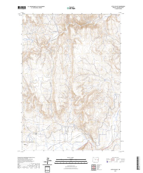
2023 Map of Little Valley
USGS Topo · Published 2023About this map
Harper and the broader Harper Valley dominate the southwestern corner of this high-desert landscape, where the Malheur River cuts through the basin. The map reveals an intricate network of irrigation infrastructure essential for local agriculture, including the Vale Oregon Main Canal and the Little Valley Lateral. This managed water system reflects the transformation of the arid terrain into a productive valley, a process further evidenced by the naming of Little Valley itself.
Find a feature on this map
20 named features on this map. Tap any name to fly to it.
Don’t see what you’re looking for? This feature index may not catch every label — zoom into the map to look around manually.
Map Details
Editions of this 2023 Little Valley Map
This is the sole edition of this map. No revisions or reprints were ever made.
Other maps of this area

1906 · Mitchell Butte
USGS Topo · 1:125,000

1950 · Jamieson
USGS Topo · 1:62,500

1955 · Baker
USGS Topo · 1:250,000

1955 · Boise
USGS Topo · 1:250,000

1958 · Boise
USGS Topo · 1:250,000

1959 · Baker
USGS Topo · 1:250,000

1962 · Boise
USGS Topo · 1:250,000

1964 · Brogan
USGS Topo · 1:62,500

1966 · Harper
USGS Topo · 1:62,500
1967 · Vines Hill
USGS Topo · 1:24,000