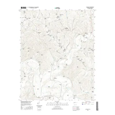
2016 Map of Littlelot
USGS Topo · Published 2016About this map
The winding Duck River dictates the landscape of this Hickman County region, carving deep bends like Bratton Bend and Tottys Bend through the terrain. These loops created naturally isolated pockets of land where early rural life centered on crossings such as the Tottys Bend Bridge and Bratton Ford Bridge. The terrain is characterized by a dense network of named hollows, including Willow Thicket Hollow and Newground Hollow, which drain into the river via numerous small branches like Tucker Br and Leatherwood Cr.
Find a feature on this map
173 named features on this map. Tap any name to fly to it.
Don’t see what you’re looking for? This feature index may not catch every label — zoom into the map to look around manually.
Map Details
Editions of this 2016 Littlelot Map
This is the sole edition of this map. No revisions or reprints were ever made.
Other maps of this area

1901 · Colombia
USGS Topo · 1:125,000

1936 · Williamsport
USGS Topo · 1:24,000

1936 · Primm
USGS Topo · 1:24,000

1936 · Nunnelly
USGS Topo · 1:24,000

1936 · Sunrise
USGS Topo · 1:24,000

1936 · Littlelot
USGS Topo · 1:24,000

1936 · Texas Hollow
USGS Topo · 1:24,000

1936 · Greenfield Bend
USGS Topo · 1:24,000

1936 · Craigfield
USGS Topo · 1:24,000

1936 · Lyles
USGS Topo · 1:24,000