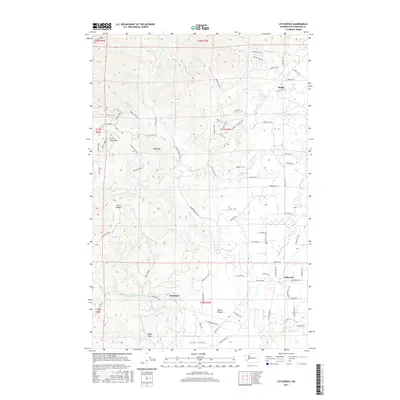
2017 Map of Littlerock
USGS Topo · Published 2017About this map
Capitol Forest dominates the western half of this landscape, where the Black Hills rise sharply from the lowlands of the Mima Prairie. The terrain transition is marked by prominent elevations like Little Larch Mtn and Mt Molly, alongside the secluded drainage of Lost Valley. Water systems define the local geography, from the cascading Mima Falls to the sprawling wetlands of the Black River corridor. Settled areas are concentrated along the eastern and southern margins, notably at the small community of Littlerock and the rural junction of Delphi. The map reveals a complex network of forest roads, such as the C-Line Road and Capitol Peak Rd, which penetrate the timberlands to reach high points and interior creek valleys like Waddell Cr and Sherman Cr. This record of southwestern Thurston County captures the meeting point of industrial forestry and rural prairie life.
Find a feature on this map
88 named features on this map. Tap any name to fly to it.
Don’t see what you’re looking for? This feature index may not catch every label — zoom into the map to look around manually.
Map Details
Editions of this 2017 Littlerock Map
This is the sole edition of this map. No revisions or reprints were ever made.
Other maps of this area

1916 · Chehalis
USGS Topo · 1:125,000

1937 · Olympia
USGS Topo · 1:62,500

1939 · Shelton
USGS Topo · 1:62,500

1940 · Tenino
USGS Topo · 1:62,500

1941 · Gate
USGS Topo · 1:62,500

1944 · Tenino
USGS Topo · 1:62,500

1949 · Tenino
USGS Topo · 1:62,500

1949 · Olympia
USGS Topo · 1:62,500

1953 · Hoquiam
USGS Topo · 1:250,000

1953 · Rochester
USGS Topo · 1:62,500