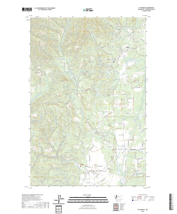
2023 Map of Littlerock
USGS Topo · Published 2023About this map
Mima Prairie and the lower reaches of the Black River anchor this 2023 survey of southwest Thurston County. The settlement of Littlerock is situated at the junction of Beaver Creek and the river, showing a modern road network that services the rural residential and agricultural corridor. To the north, the landscape transitions into the hills of the Capitol Forest, where Mt Molly and Little Larch Mtn rise above a network of logging roads and creek drainages like Waddell Creek and Mima Creek.
Find a feature on this map
89 named features on this map. Tap any name to fly to it.
Don’t see what you’re looking for? This feature index may not catch every label — zoom into the map to look around manually.
Map Details
Editions of this 2023 Littlerock Map
This is the sole edition of this map. No revisions or reprints were ever made.
Other maps of this area

1916 · Chehalis
USGS Topo · 1:125,000

1937 · Olympia
USGS Topo · 1:62,500

1939 · Shelton
USGS Topo · 1:62,500

1940 · Tenino
USGS Topo · 1:62,500

1941 · Gate
USGS Topo · 1:62,500

1944 · Tenino
USGS Topo · 1:62,500

1949 · Tenino
USGS Topo · 1:62,500

1949 · Olympia
USGS Topo · 1:62,500

1953 · Hoquiam
USGS Topo · 1:250,000

1953 · Rochester
USGS Topo · 1:62,500