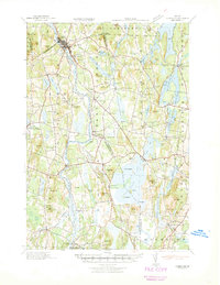
1941 Map of Livermore
USGS Topo · Published 1941About this map
Androscoggin River serves as the industrial and logistical spine of this central Maine landscape, powering the mills of Chisholm and Livermore Falls. The river's influence on regional movement is evident in the survival of Hillman Ferry and Strickland Ferry, which provided vital crossings alongside the growing rail presence of the Maine Central railroad. This survey captures a dense network of small agrarian and milling communities, from Brettuns Mills to East Livermore Mills, during a period of transition as timber and water power remained central to the local economy.
Find a feature on this map
118 named features on this map. Tap any name to fly to it.
Don’t see what you’re looking for? This feature index may not catch every label — zoom into the map to look around manually.
Map Details
Editions of this 1941 Livermore Map
This is the sole edition of this map. No revisions or reprints were ever made.
Other maps of this area
1892 · Gardiner
USGS Topo · 1:62,500

1892 · Augusta
USGS Topo · 1:62,500

1894 · Norridgewock
USGS Topo · 1:62,500

1898 · Norridgewock
USGS Topo · 1:62,500
1908 · Poland
USGS Topo · 1:62,500
1908 · Lewiston
USGS Topo · 1:62,500
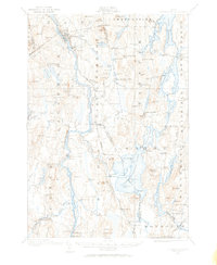
1910 · Livermore
USGS Topo · 1:62,500
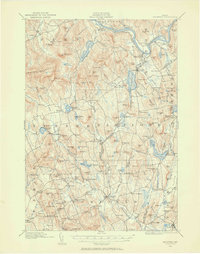
1911 · Buckfield
USGS Topo · 1:62,500
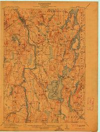
1912 · Livermore
USGS Topo · 1:62,500
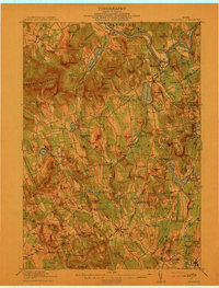
1913 · Buckfield
USGS Topo · 1:62,500