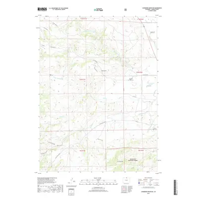
2019 Map of Livermore Mountain
USGS Topo · Published 2019About this map
Livermore Mtn and the surrounding high country of Larimer County are documented here as they appeared in 2019. The landscape is defined by the complex drainage systems of the N Fork Cache La Poudre River and several branches of Rabbit Cr, alongside irrigation infrastructure like the N Poudre Canal and Upper Stonewall Reservoir. Small family and community landmarks offer significant value for genealogists, including the Cherokee Stage Station Cem, Lamb Family Cem, and the lone Christopher Charles Cradock Grave.
Find a feature on this map
37 named features on this map. Tap any name to fly to it.
Don’t see what you’re looking for? This feature index may not catch every label — zoom into the map to look around manually.
Map Details
Editions of this 2019 Livermore Mountain Map
This is the sole edition of this map. No revisions or reprints were ever made.
Other maps of this area

1906 · Fort Collins
USGS Topo · 1:62,500

1907 · Livermore
USGS Topo · 1:125,000

1908 · Fort Collins
USGS Topo · 1:62,500

1909 · Livermore
USGS Topo · 1:125,000

1954 · Greeley
USGS Topo · 1:250,000

1957 · Greeley
USGS Topo · 1:250,000

1958 · Greeley
USGS Topo · 1:250,000

1960 · Livermore
USGS Topo · 1:24,000

1960 · Haystack Gulch
USGS Topo · 1:24,000

1960 · Livermore Mountain
USGS Topo · 1:24,000