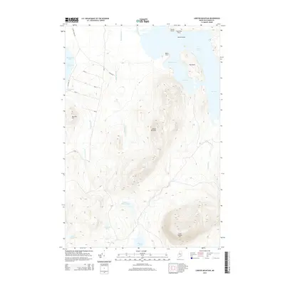
2014 Map of Lobster Mountain
USGS Topo · Published 2014About this map
Lobster Mountain and the surrounding North Woods terrain dominate this 2014 survey of the Northeast Carry Township region. The landscape is defined by the massive waters of Moosehead Lake to the west, specifically at Northeast Cove, and the intricate shoreline of Lobster Lake to the east. Between these water bodies, a network of timber and access roads such as Halfway Brook Rd and Ross Farm Rd weave through the forest, providing the primary infrastructure for this sparsely populated wilderness area.
Find a feature on this map
30 named features on this map. Tap any name to fly to it.
Don’t see what you’re looking for? This feature index may not catch every label — zoom into the map to look around manually.
Map Details
Editions of this 2014 Lobster Mountain Map
This is the sole edition of this map. No revisions or reprints were ever made.
Other maps of this area

1920 · Moosehead Lake
USGS Topo · 1:62,500

1922 · Moosehead Lake
USGS Topo · 1:62,500

1930 · Moosehead Lake
USGS Topo · 1:62,500

1944 · Moosehead Lake
USGS Topo · 1:62,500

1952 · First Roach Pond
USGS Topo · 1:62,500

1954 · North East Carry
USGS Topo · 1:62,500

1954 · Grant Farm
USGS Topo · 1:62,500

1954 · Millinocket
USGS Topo · 1:250,000

1957 · Moosehead Lake
USGS Topo · 1:62,500

1958 · Millinocket
USGS Topo · 1:250,000
Featured Places
- Northeast Carry Township, ME
- TX R14 WELS, ME
- East Middlesex Canal Grant Township, ME
- Lobster Township, ME
- Piscataquis County, ME