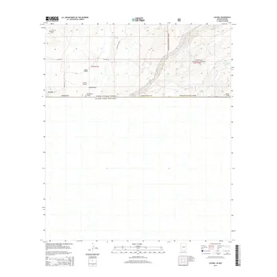
2014 Map of Lochiel
USGS Topo · Published 2014About this map
Lochiel sits directly on the international border between the United States of America and Estados Unidos Mexicanos in this 2014 topographic survey. This remote borderland in Santa Cruz County is defined by the high-elevation grasslands of the San Rafael Valley, an area largely preserved from modern development. The landscape is marked by deep drainage patterns such as Hayfield Draw and Antonio Canyon, which channel water toward the southern boundary.
Find a feature on this map
20 named features on this map. Tap any name to fly to it.
Don’t see what you’re looking for? This feature index may not catch every label — zoom into the map to look around manually.
Map Details
Editions of this 2014 Lochiel Map
This is the sole edition of this map. No revisions or reprints were ever made.
Other maps of this area

1905 · Nogales
USGS Topo · 1:125,000

1914 · Hereford
USGS Topo · 1:125,000

1922 · Sunnyside
USGS Topo · 1:62,500

1932 · Lochiel
USGS Topo · 1:62,500

1938 · Sunnyside
USGS Topo · 1:62,500

1948 · Canelo Pass
USGS Topo · 1:24,000

1948 · Huachuca Peak
USGS Topo · 1:24,000
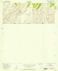
1948 · Sunnyside SW
USGS Topo · 1:24,000
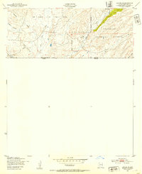
1948 · Lochiel SE
USGS Topo · 1:24,000

1948 · Harshaw
USGS Topo · 1:24,000