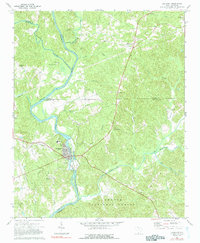
1972 Map of Lockhart
USGS Topo · Published 1991About this map
Pinckneyville and the industrial activity at Lockhart anchor this survey of the Piedmont landscape where the Pacolet River meets the Broad River. This confluence area is marked by several significant historical sites, including a Historical Monument and numerous small country churches that served the rural population. The landscape transitions from the river valley into the wooded reaches of the Sumter National Forest, illustrating the varied land use between timber, agriculture, and industry.
Find a feature on this map
38 named features on this map. Tap any name to fly to it.
Don’t see what you’re looking for? This feature index may not catch every label — zoom into the map to look around manually.
Map Details
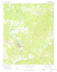
Editions of this 1972 Lockhart Map
2 editions found
Other maps of this area

1907 · Sharon
USGS Topo · 1:62,500

1941 · Spartanburg
USGS Topo · 1:250,000

1953 · Spartanburg
USGS Topo · 1:250,000

1960 · Spartanburg
USGS Topo · 1:250,000

1963 · Spartanburg
USGS Topo · 1:250,000

1964 · Spartanburg
USGS Topo · 1:250,000
1968 · Wilkinsville
USGS Topo · 1:24,000

1969 · Kelton
USGS Topo · 1:24,000

1969 · Baton Rouge
USGS Topo · 1:24,000
1969 · Leeds
USGS Topo · 1:24,000