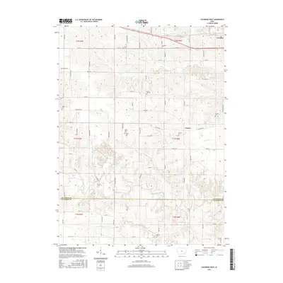
2015 Map of Lockridge West
USGS Topo · Published 2015About this map
Lockridge and the nearby village of Glasgow anchor this landscape along the eastern edge of Jefferson County. The terrain is defined by a dense network of drainage, including Wolf Cr, Rock Cr, and Cedar Creek, which carve through the agricultural uplands. For those researching local history, the abundance of small burial grounds is striking; the map preserves the locations of several scattered family and community plots such as Jones Family Cem, Fielder Cem, and Bonnifield Cem. The southern boundary reveals the transition into Van Buren County near the waters of Summer Cr. The survey also highlights a intricate rural road system with distinctive local names like Peppermint Blvd and Varnishtree Ave, illustrating the modern parceling of these historic townships.
Find a feature on this map
75 named features on this map. Tap any name to fly to it.
Don’t see what you’re looking for? This feature index may not catch every label — zoom into the map to look around manually.
Map Details
Editions of this 2015 Lockridge West Map
This is the sole edition of this map. No revisions or reprints were ever made.
Other maps of this area

1958 · Burlington
USGS Topo · 1:250,000

1958 · Davenport
USGS Topo · 1:250,000

1961 · Burlington
USGS Topo · 1:250,000

1961 · Davenport
USGS Topo · 1:250,000

1962 · Davenport
USGS Topo · 1:250,000

1963 · Burlington
USGS Topo · 1:250,000
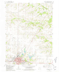
1980 · Fairfield North
USGS Topo · 1:24,000
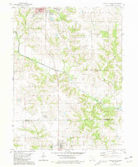
1980 · Fairfield South
USGS Topo · 1:24,000

1980 · Lockridge West
USGS Topo · 1:24,000

1980 · Trenton
USGS Topo · 1:24,000