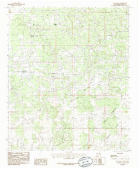
1985 Map of Loco Hills
USGS Topo · Published 1985About this map
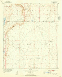
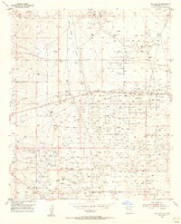
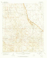
Loco Hills sits at the center of this industrial and natural landscape in Eddy County, serving as a focal point for the extensive Oil Field operations that define the region. The 1985 survey illustrates a high density of drill holes and pipelines supporting the local petroleum economy, juxtaposed against the vast, open expanses of the Querecho Plains. This era of western New Mexico history is characterized by the systematic development of energy resources across the high desert terrain. To the north and east, significant water features like Square Lake and Cedar Lake provide distinct landmarks in a topography marked by the Cedar Lake Breaks. Erosion patterns are clearly visible through Cedar Lake Draw and Taylor Draw, which carve through the Loco Hills themselves, revealing the geological character of the Permian Basin during the mid-1980s.
Find a feature on this map
10 named features on this map. Tap any name to fly to it.
Don’t see what you’re looking for? This feature index may not catch every label — zoom into the map to look around manually.
Map Details
Editions of this 1985 Loco Hills Map
This is the sole edition of this map. No revisions or reprints were ever made.
Other maps of this area
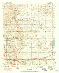
1942 · Clayton Basin
USGS Topo · 1:62,500
1943 · Clayton Basin
USGS Topo · 1:62,500
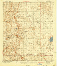
1943 · Oil City
USGS Topo · 1:62,500
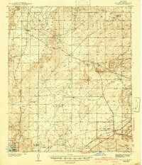
1953 · Basin Well
USGS Topo · 1:24,000

1954 · Carlsbad
USGS Topo · 1:250,000

1954 · Hobbs
USGS Topo · 1:250,000
1955 · Red Lake SE
USGS Topo · 1:24,000

1958 · Carlsbad
USGS Topo · 1:250,000

1958 · Hobbs
USGS Topo · 1:250,000
1963 · Maljamar
USGS Topo · 1:62,500