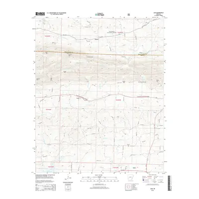
2014 Map of Lodi
USGS Topo · Published 2014About this map
Hopper sits in the northern reaches of this Ouachita mountain landscape, where the S Fork Caddo River winds through the valley floor. The map documents the boundary between Montgomery and Pike counties, a line that cuts directly across the S Fork Mountains and high points like Tweedle Mtn. This area is characterized by deep gaps and ridges, including Dripping Springs Gap and Brooks Gap, which historically dictated the flow of local travel and settlement.
Find a feature on this map
66 named features on this map. Tap any name to fly to it.
Don’t see what you’re looking for? This feature index may not catch every label — zoom into the map to look around manually.
Map Details
Editions of this 2014 Lodi Map
This is the sole edition of this map. No revisions or reprints were ever made.
Other maps of this area

1906 · Caddo Gap
USGS Topo · 1:125,000

1936 · Athens
USGS Topo · 1:48,000

1936 · Glenwood
USGS Topo · 1:48,000

1942 · Glenwood
USGS Topo · 1:62,500

1942 · Athens
USGS Topo · 1:62,500

1949 · Glenwood
USGS Topo · 1:62,500

1955 · Little Rock
USGS Topo · 1:250,000

1956 · Little Rock
USGS Topo · 1:250,000

1960 · Little Rock
USGS Topo · 1:250,000

1964 · Little Rock
USGS Topo · 1:250,000