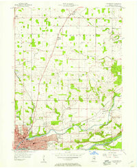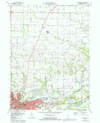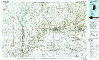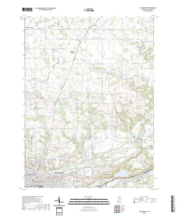
2022 Map of Logansport
USGS Topo · Published 2022About this map
The Wabash River and Eel River converge at the heart of Logansport, defining the urban and natural geography of this Cass County region. The city’s core is marked by river features like Biddle Island and the residential stretch of Miami Bend, while its industrial and transit history is etched into the landscape via the Logansport Rd corridor. Beyond the city center, the terrain transitions into a strictly surveyed grid of county roads, connecting agricultural settlements such as Metea, Adamsboro, and Leases Corner. Genealogists will find a wealth of recorded burial sites throughout these rural townships, including the Wilson Family Cem and the Bethel Methodist Cem. The map reveals an intricate drainage network of man-made and natural waterways like Shackelford Ditch and Crooked Cr that support the surrounding farmland north of the river forks.
Find a feature on this map
78 named features on this map. Tap any name to fly to it.
Don’t see what you’re looking for? This feature index may not catch every label — zoom into the map to look around manually.
Map Details
Editions of this 2022 Logansport Map
This is the sole edition of this map. No revisions or reprints were ever made.
Historical Maps of Adamsboro Through Time
4 maps found