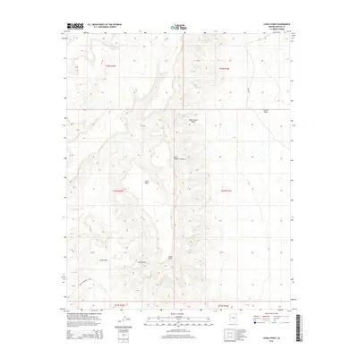
2014 Map of Lohali Point
USGS Topo · Published 2014About this map
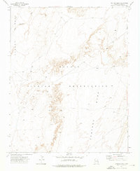
Lohali Point dominates the center of this high-desert landscape in the Chinle Agency region, rising as a prominent topographical marker above the surrounding basins. This 2014 survey reveals a territory defined by expansive mesas and complex drainage systems, where the massive Lohali Mesa meets the lower elevations of the Lohali Basin and Bitter Water Basin. The scarcity of water is evidenced by the specific naming of Bitter Water Springs, a vital point of interest in this arid environment. Transportation through this part of the Navajo Nation is sparse, primarily represented by Bia-8090 snaking through the northeastern corner near Carson Mesa. The intricate contour lines illustrate the sharp relief of landmarks like Sitting Rock and the winding course of Black Mountain Wash, providing a technical view of the region's geological character.
Find a feature on this map
16 named features on this map. Tap any name to fly to it.
Don’t see what you’re looking for? This feature index may not catch every label — zoom into the map to look around manually.
Map Details
Editions of this 2014 Lohali Point Map
This is the sole edition of this map. No revisions or reprints were ever made.
Other maps of this area

1892 · Canyon De Chelly
USGS Topo · 1:250,000

1954 · Shiprock
USGS Topo · 1:250,000

1958 · Shiprock
USGS Topo · 1:250,000

1959 · Shiprock
USGS Topo · 1:250,000

1968 · Tah Chee Wash
USGS Topo · 1:24,000

1968 · Many Farms SW
USGS Topo · 1:24,000
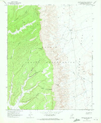
1968 · Sweathouse Peak
USGS Topo · 1:24,000
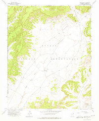
1972 · Blue Gap
USGS Topo · 1:24,000
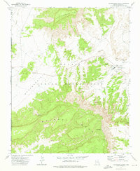
1972 · Toadindaaska Mesa
USGS Topo · 1:24,000
1972 · Ventana Mesa
USGS Topo · 1:24,000