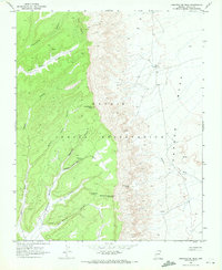
1968 Map of Sweathouse Peak
USGS Topo · Published 1972About this map
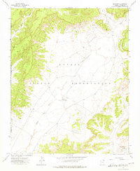
Sweathouse Peak stands as a prominent landmark in this 1968 survey of the Navajo Indian Reservation in Apache County. The terrain is defined by a sharp geological transition, where the high wooded elevations of Yale Point and Tse Da Ahoodzo Peak drop dramatically toward the arid expanse of Mesa Carson. This landscape is carved by numerous drainages, including Wind Rock Valley and Cottonwood Canyon, which descend from the western heights. The presence of a Radio Tower and various Mine and Prospect symbols suggests a remote but active landscape of communication and resource exploration. Vital water sources are scattered throughout the canyons and flats, ranging from the high-elevation Waterfall Spring to the lower Sweetwater Spring and Net Springs on the mesa's edge. A network of primitive transport is visible via the Pack Trail winding through Sagebrush Canyon, illustrating how the land was navigated before modern infrastructure.
Find a feature on this map
22 named features on this map. Tap any name to fly to it.
Don’t see what you’re looking for? This feature index may not catch every label — zoom into the map to look around manually.
Map Details
Editions of this 1968 Sweathouse Peak Map
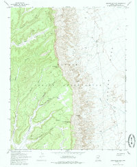
2 editions found
Other maps of this area

1892 · Canyon De Chelly
USGS Topo · 1:250,000

1954 · Shiprock
USGS Topo · 1:250,000

1958 · Shiprock
USGS Topo · 1:250,000

1959 · Shiprock
USGS Topo · 1:250,000

1968 · Tah Chee Wash
USGS Topo · 1:24,000

1968 · Many Farms SW
USGS Topo · 1:24,000

1968 · Windy Valley
USGS Topo · 1:24,000
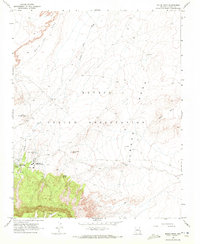
1968 · Rough Rock
USGS Topo · 1:24,000
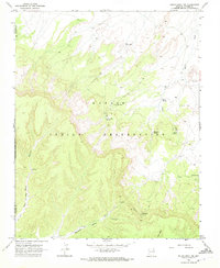
1968 · Rough Rock NW
USGS Topo · 1:24,000
1972 · Blue Gap
USGS Topo · 1:24,000