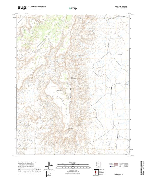
2021 Map of Lohali Point
USGS Topo · Published 2021About this map
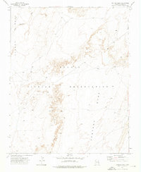
Lohali Point serves as a prominent landmark within this high-desert landscape, overlooking a complex of mesas and drainage basins in Apache County. The terrain is defined by dramatic elevations such as Lohali Mesa and Carson Mesa, which are dissected by intermittent water features like Black Mountain Wash. To the north, the presence of Bitter Water Springs and the Bitter Water Basin suggests a geography where localized water sources were historically critical for land use. The land is organized around a network of tribal infrastructure, indicated by routes such as Indian Rte 8090 and Indian Rte 251. Unique geological features like Sitting Rock and the wide Lohali Basin anchor the southern portion of the quadrangle, illustrating the relationship between distinctive rock formations and the naming of this territory.
Find a feature on this map
17 named features on this map. Tap any name to fly to it.
Don’t see what you’re looking for? This feature index may not catch every label — zoom into the map to look around manually.
Map Details
Editions of this 2021 Lohali Point Map
This is the sole edition of this map. No revisions or reprints were ever made.
Other maps of this area

1892 · Canyon De Chelly
USGS Topo · 1:250,000

1954 · Shiprock
USGS Topo · 1:250,000

1958 · Shiprock
USGS Topo · 1:250,000

1959 · Shiprock
USGS Topo · 1:250,000

1968 · Tah Chee Wash
USGS Topo · 1:24,000

1968 · Many Farms SW
USGS Topo · 1:24,000
1968 · Sweathouse Peak
USGS Topo · 1:24,000
1972 · Blue Gap
USGS Topo · 1:24,000
1972 · Toadindaaska Mesa
USGS Topo · 1:24,000
1972 · Ventana Mesa
USGS Topo · 1:24,000