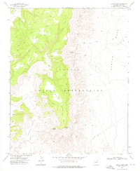
1972 Map of Lohali Point
USGS Topo · Published 1976About this map
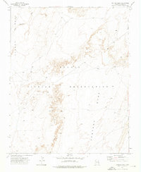
Lohali Mesa dominates this 1970s landscape within the Navajo Indian Reservation, forming a massive elevated divide between Lohali Basin and Bitter Water Basin. The terrain is defined by its drainage systems and high points, most notably Lohali Point and the distinctive Sitting Rock. Navigation through this high-altitude environment relied on a network of Jeep Trails that skirted the mesas and connected isolated water sources like Bitter Water Springs. Evidence of exploration and resource extraction is scattered throughout the region, indicated by a Mine and various Prospects located along the western slopes. The map also documents the movement of seasonal water through Aspen Wash and Black Mtn Wash, which define the lower elevations around Carson Mesa.
Find a feature on this map
13 named features on this map. Tap any name to fly to it.
Don’t see what you’re looking for? This feature index may not catch every label — zoom into the map to look around manually.
Map Details
Editions of this 1972 Lohali Point Map
This is the sole edition of this map. No revisions or reprints were ever made.
Other maps of this area

1892 · Canyon De Chelly
USGS Topo · 1:250,000

1954 · Shiprock
USGS Topo · 1:250,000

1958 · Shiprock
USGS Topo · 1:250,000

1959 · Shiprock
USGS Topo · 1:250,000

1968 · Tah Chee Wash
USGS Topo · 1:24,000

1968 · Many Farms SW
USGS Topo · 1:24,000
1968 · Sweathouse Peak
USGS Topo · 1:24,000
1972 · Blue Gap
USGS Topo · 1:24,000
1972 · Toadindaaska Mesa
USGS Topo · 1:24,000
1972 · Ventana Mesa
USGS Topo · 1:24,000