2022 Map of Lomira
USGS Topo · Published 2022About this map
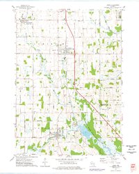
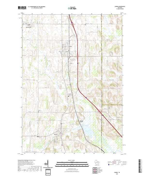
Lomira and Theresa anchor this Dodge County landscape, where the agricultural plains are punctuated by the distinct north-south orientation of glacial landforms, evidenced by Drumlin Dr. The village of Lomira is a central hub, while the smaller settlement of Theresa Station sits further south along the East Branch Rock River. The map is particularly rich for genealogical research, documenting numerous community burial grounds including Saint Pauls Evangelical Lutheran Cem, Saint Marys Cem, and Union Cem.
Find a feature on this map
96 named features on this map. Tap any name to fly to it.
Don’t see what you’re looking for? This feature index may not catch every label — zoom into the map to look around manually.
Map Details
Editions of this 2022 Lomira Map
This is the sole edition of this map. No revisions or reprints were ever made.