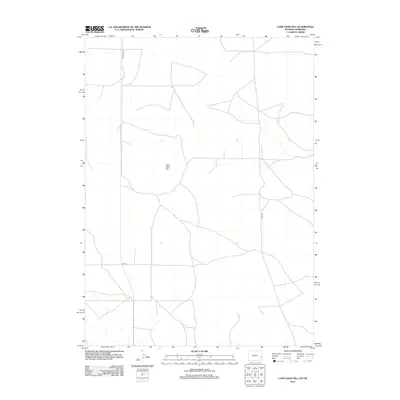
2012 Map of Lone Sand Hill
USGS Topo · Published 2012About this map
Lone Sand Hill rises as the central topographic feature of this high plains landscape straddling the border between Nebraska and Wyoming. The terrain is defined by a sparse network of section-line roads and rural corridors that connect the isolated ranchlands of Sioux County. Primary transit through this quiet corner of the West is provided by Wyoming 159 in the west and Henry Rd in the east, while Co Rd 24 cuts across the southern portion of the quadrangle. The lack of concentrated settlements highlights the enduring nature of the region's agricultural and grazing layout, where land use is dictated by the subtle contours of the Sandhills and the requirements of large-scale ranching operations during the early twenty-first century.
Find a feature on this map
5 named features on this map. Tap any name to fly to it.
Don’t see what you’re looking for? This feature index may not catch every label — zoom into the map to look around manually.
Map Details
Editions of this 2012 Lone Sand Hill Map
This is the sole edition of this map. No revisions or reprints were ever made.
Other maps of this area

1896 · Patrick
USGS Topo · 1:125,000

1899 · Whistle Creek
USGS Topo · 1:125,000

1954 · Torrington
USGS Topo · 1:250,000

1955 · Alliance
USGS Topo · 1:250,000

1957 · Alliance
USGS Topo · 1:250,000

1958 · Torrington
USGS Topo · 1:250,000

1958 · Alliance
USGS Topo · 1:250,000

1974 · Spoon Butte SW
USGS Topo · 1:24,000

1974 · Spoon Butte
USGS Topo · 1:24,000

1977 · Van Tassell SE
USGS Topo · 1:24,000