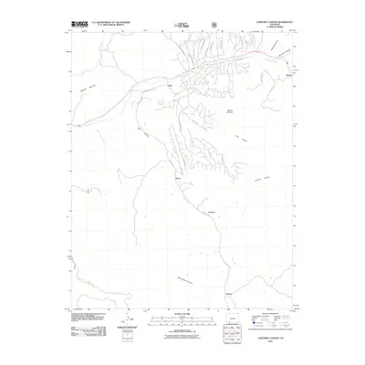
2011 Map of Lonetree Canyon
USGS Topo · Published 2011About this map
Dyke and Nutria serve as focal points in this high-desert landscape of southwestern Colorado, situated along the drainage of Stollsteimer Creek. The map documents a rural transition where traditional landforms like Haystack Mountain and the high vantage of Broken Off Point overlook a modernizing network of residential roads such as Robbers Roost Rd and Carols Curves.
Find a feature on this map
45 named features on this map. Tap any name to fly to it.
Don’t see what you’re looking for? This feature index may not catch every label — zoom into the map to look around manually.
Map Details
Editions of this 2011 Lonetree Canyon Map
This is the sole edition of this map. No revisions or reprints were ever made.
Other maps of this area

1924 · Pagosa Springs
USGS Topo · 1:125,000

1927 · Pagosa Springs
USGS Topo · 1:125,000

1945 · Durango
USGS Topo · 1:250,000

1953 · Durango
USGS Topo · 1:250,000

1954 · Durango
USGS Topo · 1:250,000

1954 · Carracas
USGS Topo · 1:24,000

1957 · Pagosa Junction
USGS Topo · 1:62,500

1961 · Durango
USGS Topo · 1:250,000

1963 · Durango
USGS Topo · 1:250,000
1964 · Chris Mountain
USGS Topo · 1:24,000