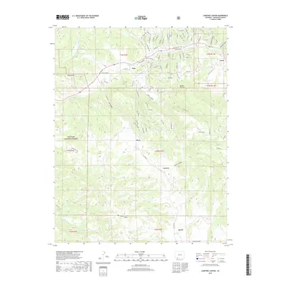
2019 Map of Lonetree Canyon
USGS Topo · Published 2019About this map
Stollsteimer Cr carves through the northern reaches of this landscape near the settlement of Dyke, where local routes like River Run Dr and W Stollsteimer Rd navigate the valley floor. The terrain transitions from the heights of Haystack Mtn and the broad Washington Flats into a series of deep drainages, including Hurt Canyon and the prominent Lonetree Canyon. Much of the western territory is protected within the San Juan National Forest, reflecting the area's character as a managed wilderness interface.
Find a feature on this map
31 named features on this map. Tap any name to fly to it.
Don’t see what you’re looking for? This feature index may not catch every label — zoom into the map to look around manually.
Map Details
Editions of this 2019 Lonetree Canyon Map
This is the sole edition of this map. No revisions or reprints were ever made.
Other maps of this area

1924 · Pagosa Springs
USGS Topo · 1:125,000

1927 · Pagosa Springs
USGS Topo · 1:125,000

1945 · Durango
USGS Topo · 1:250,000

1953 · Durango
USGS Topo · 1:250,000

1954 · Durango
USGS Topo · 1:250,000

1954 · Carracas
USGS Topo · 1:24,000

1957 · Pagosa Junction
USGS Topo · 1:62,500

1961 · Durango
USGS Topo · 1:250,000

1963 · Durango
USGS Topo · 1:250,000
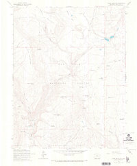
1964 · Chris Mountain
USGS Topo · 1:24,000