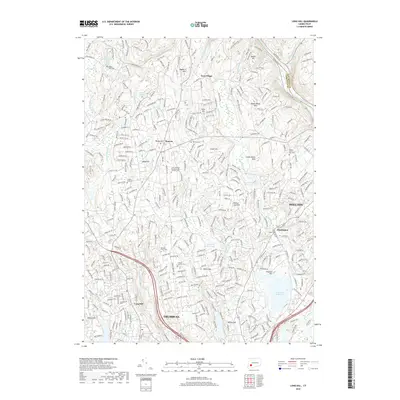
2018 Map of Long Hill
USGS Topo · Published 2018About this map
The Housatonic River forms a natural eastern boundary in this region of Fairfield County, where the transition from colonial-era settlements to modern residential centers is clearly visible. The landscape is defined by its significant water infrastructure, featuring major basins such as Trap Falls Reservoir, Isinglass Reservoir, and Means Brook Reservoir. These bodies of water are surrounded by a network of hills, including Barn Hill, Booth Hill, and Tashua Hill, which have long shaped the local topography and road development.
Find a feature on this map
376 named features on this map. Tap any name to fly to it.
Don’t see what you’re looking for? This feature index may not catch every label — zoom into the map to look around manually.
Map Details
Editions of this 2018 Long Hill Map
This is the sole edition of this map. No revisions or reprints were ever made.
Other maps of this area

1889 · Derby
USGS Topo · 1:62,500

1891 · Bridgeport
USGS Topo · 1:62,500

1891 · Derby
USGS Topo · 1:62,500

1892 · Danbury
USGS Topo · 1:62,500

1892 · Norwalk
USGS Topo · 1:62,500

1893 · Bridgeport
USGS Topo · 1:62,500

1893 · Norwalk
USGS Topo · 1:62,500

1893 · Derby
USGS Topo · 1:62,500

1915 · Danbury
USGS Topo · 1:62,500

1920 · Bridgeport
USGS Topo · 1:62,500