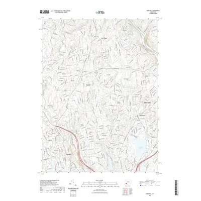
2021 Map of Long Hill
USGS Topo · Published 2021About this map
Pequonnock River Valley State Park and its extensive trail network, including the Red Trail North and Blue Trl, anchor the western portion of this 2021 study. The landscape is defined by its significant water infrastructure, with the large Trap Falls Reservoir, Isinglass Reservoir, and Means Brook Reservoir dominating the central and eastern terrain. These reservoirs are surrounded by established residential clusters such as Huntington, Long Hill, and East Village.
Find a feature on this map
63 named features on this map. Tap any name to fly to it.
Don’t see what you’re looking for? This feature index may not catch every label — zoom into the map to look around manually.
Map Details
Editions of this 2021 Long Hill Map
This is the sole edition of this map. No revisions or reprints were ever made.
Other maps of this area

1889 · Derby
USGS Topo · 1:62,500

1891 · Bridgeport
USGS Topo · 1:62,500

1891 · Derby
USGS Topo · 1:62,500

1892 · Danbury
USGS Topo · 1:62,500

1892 · Norwalk
USGS Topo · 1:62,500

1893 · Bridgeport
USGS Topo · 1:62,500

1893 · Norwalk
USGS Topo · 1:62,500

1893 · Derby
USGS Topo · 1:62,500

1915 · Danbury
USGS Topo · 1:62,500

1920 · Bridgeport
USGS Topo · 1:62,500