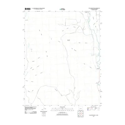
2010 Map of Long Mountain
USGS Topo · Published 2010About this map
The Animas River corridor defines the eastern edge of this landscape, where the settlements of La Posta and Bondad are connected by a network of county roads. The river valley is a narrow band of activity characterized by the Citizens Animas Ditch and local landmarks like the Elco Cemetery. To the west, the terrain rises sharply into a complex system of plateaus and drainage systems, including the prominent Long Mountain and Round Top Mountain. This area is carved by numerous canyons such as Mitchell Canyon, Poison Canyon, and High Flume Canyon, illustrating the high-desert topography of southern Colorado near the New Mexico border. Historical land use is evident in the presence of Twin Crossing and the ranch roads that penetrate the uplands toward Black Ridge and Sunnyside Mesa.
Find a feature on this map
38 named features on this map. Tap any name to fly to it.
Don’t see what you’re looking for? This feature index may not catch every label — zoom into the map to look around manually.
Map Details
Editions of this 2010 Long Mountain Map
This is the sole edition of this map. No revisions or reprints were ever made.
Other maps of this area

1889 · Largo
USGS Topo · 1:250,000

1889 · Chaco
USGS Topo · 1:250,000

1892 · Chaco
USGS Topo · 1:250,000

1895 · Largo
USGS Topo · 1:250,000

1908 · Ignacio
USGS Topo · 1:125,000

1913 · Red Mesa
USGS Topo · 1:62,500

1924 · Ignacio
USGS Topo · 1:125,000

1945 · Durango
USGS Topo · 1:250,000

1953 · Durango
USGS Topo · 1:250,000

1954 · Durango
USGS Topo · 1:250,000