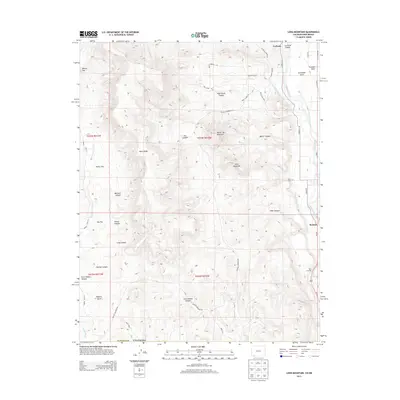
2013 Map of Long Mountain
USGS Topo · Published 2013About this map
The Animas River corridor south of Durango defines this high-desert landscape near the New Mexico border. The settlement of Bondad sits along the river's eastern bank, while La Posta is situated to the north, near the mouth of La Posta Canyon. This 2013 survey details the vital irrigation network supporting the valley, most notably the Citizens-Animas Ditch which follows the river's contour to water the lower terraces.
Find a feature on this map
48 named features on this map. Tap any name to fly to it.
Don’t see what you’re looking for? This feature index may not catch every label — zoom into the map to look around manually.
Map Details
Editions of this 2013 Long Mountain Map
This is the sole edition of this map. No revisions or reprints were ever made.
Other maps of this area

1889 · Largo
USGS Topo · 1:250,000

1889 · Chaco
USGS Topo · 1:250,000

1892 · Chaco
USGS Topo · 1:250,000

1895 · Largo
USGS Topo · 1:250,000

1908 · Ignacio
USGS Topo · 1:125,000

1913 · Red Mesa
USGS Topo · 1:62,500

1924 · Ignacio
USGS Topo · 1:125,000

1945 · Durango
USGS Topo · 1:250,000

1953 · Durango
USGS Topo · 1:250,000

1954 · Durango
USGS Topo · 1:250,000