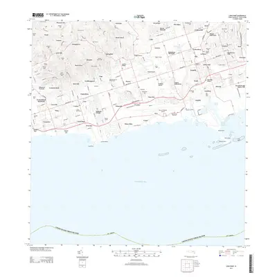
2013 Map of Long Point
USGS Topo · Published 2013About this map
The central plains and southern coast of St. Croix are defined here by a dense network of former estate names and modern infrastructure. The landscape transitions from the higher elevations of Punch Peak and Mount Stewart in the northwest down to the industrial and transport hub of the south shore. Civil and commercial activity centers around the Henry E Rohlsen Airport and the settlement of Kingshill, which serves as a central waypoint along the Queen Mary Hwy.
Find a feature on this map
101 named features on this map. Tap any name to fly to it.
Don’t see what you’re looking for? This feature index may not catch every label — zoom into the map to look around manually.
Map Details
Editions of this 2013 Long Point Map
This is the sole edition of this map. No revisions or reprints were ever made.
Other maps of this area
1958 · Christiansted
USGS Topo · 1:24,000
1958 · Frederiksted
USGS Topo · 1:24,000
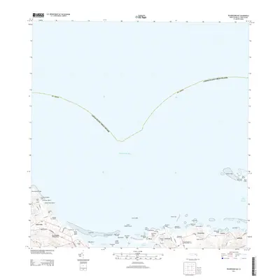
2013 · Beauregard Bay
USGS Topo · 1:20,000
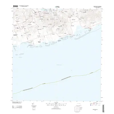
2013 · Christiansted
USGS Topo · 1:20,000
2013 · Hams Bay
USGS Topo · 1:20,000
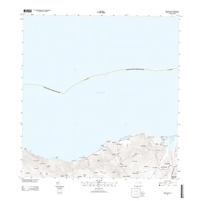
2013 · Baron Bluff
USGS Topo · 1:20,000
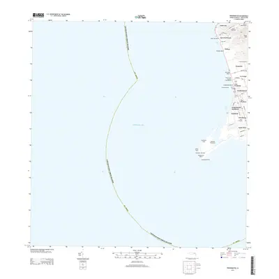
2013 · Frederiksted
USGS Topo · 1:20,000
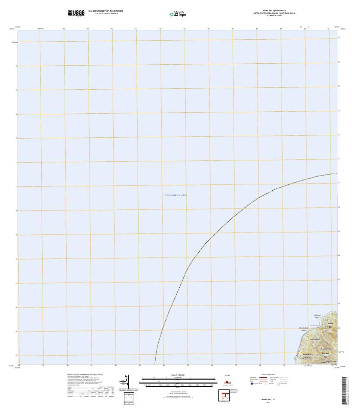
2024 · Hams Bay
USGS Topo · 1:20,000
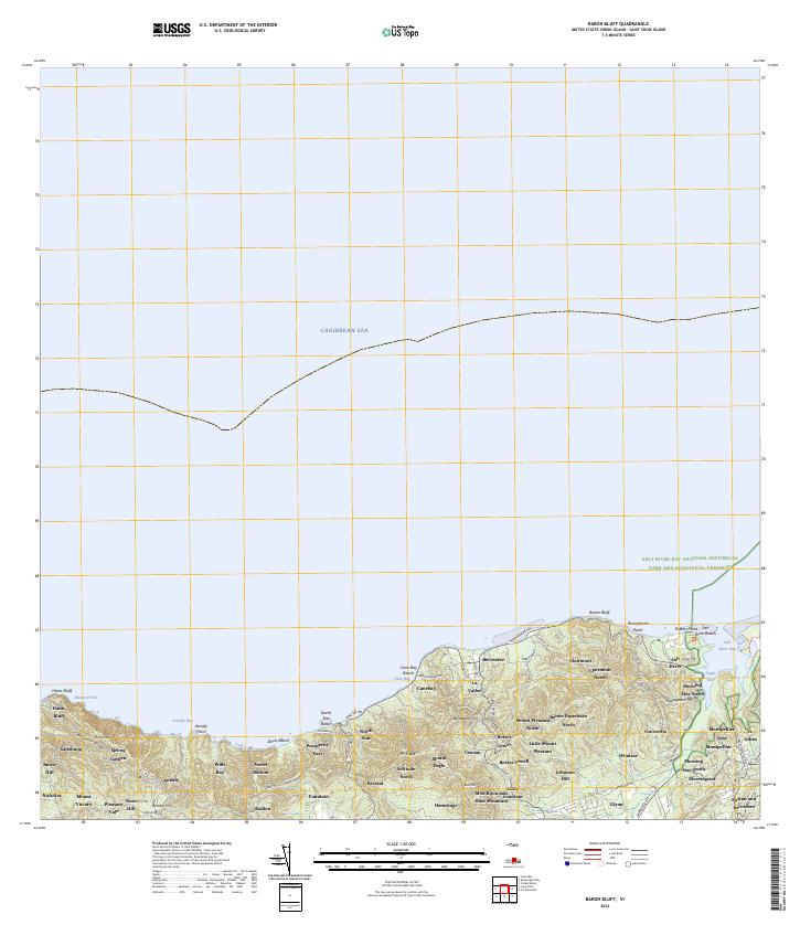
2024 · Baron Bluff
USGS Topo · 1:20,000
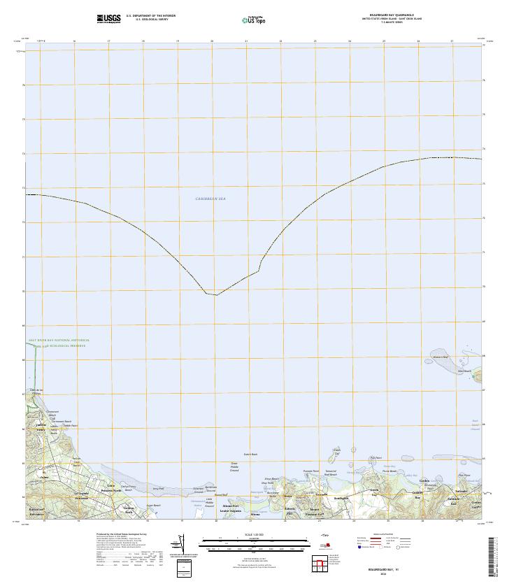
2024 · Beauregard Bay
USGS Topo · 1:20,000
Featured Places
- Mount Victory, Saint Croix District
- Saint George Hill, Saint Croix District
- Springfield, Saint Croix District
- Negro Bay, Saint Croix District
- Allandale, Saint Croix District