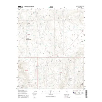
2014 Map of Long Valley
USGS Topo · Published 2014About this map
Long Valley sits at the heart of the Coconino National Forest in this 2014 survey, illustrating a landscape defined by ranching infrastructure and forest management. Small settlements and waypoints like Clints Well and Wingfield anchor the road network, which includes Lake Mary Rd and State Hwy 87. The area is densely populated with water catchment features known as tanks, such as Snafu Tank, Macks Tank, and Bald Mesa Tank, which are vital for supporting livestock and wildlife in the high-elevation terrain. This map captures the intricate drainage systems that carve through the mesa, including Iron Mine Draw and Yellow Jacket Draw. Local history is preserved through the naming of geographic landmarks like McCarty Ridge and Jones Crossing, reflecting the early families and woodsmen who established these routes through the timber and canyons.
Find a feature on this map
90 named features on this map. Tap any name to fly to it.
Don’t see what you’re looking for? This feature index may not catch every label — zoom into the map to look around manually.
Map Details
Editions of this 2014 Long Valley Map
This is the sole edition of this map. No revisions or reprints were ever made.
Other maps of this area

1887 · Verde
USGS Topo · 1:250,000

1892 · Verde
USGS Topo · 1:250,000

1934 · Pine
USGS Topo · 1:62,500

1934 · Promontory Butte
USGS Topo · 1:62,500

1939 · Promontory Butte
USGS Topo · 1:62,500

1940 · Pine
USGS Topo · 1:62,500

1952 · Pine
USGS Topo · 1:62,500

1952 · Promontory Butte
USGS Topo · 1:62,500

1954 · Holbrook
USGS Topo · 1:250,000

1957 · Holbrook
USGS Topo · 1:250,000