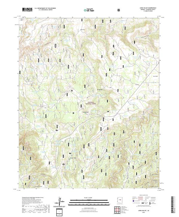
2021 Map of Long Valley
USGS Topo · Published 2021About this map
Coconino National Forest defines the character of this high-elevation landscape, where the Mogollon Plateau begins its descent through a complex system of draws and ridges. The small settlement at Clints Well serves as a central point of human activity, situated near the intersection of various forest roads. The area is marked by a high density of water tanks, such as Snafu Tank and Pecks Point Tank Number Two, indicating the vital importance of water management for local ranching or wildlife within the arid timberlands. Natural drainage patterns are dominated by deep cuts like Yellow Jacket Draw and Iron Mine Draw, which channel seasonal runoff through the ponderosa-covered terrain. To the south, Dirtyneck Canyon and Miller Canyon show the increasing relief of the plateau edge, while the presence of McClure Lake provides one of the few larger bodies of water in this high-country environment.
Find a feature on this map
85 named features on this map. Tap any name to fly to it.
Don’t see what you’re looking for? This feature index may not catch every label — zoom into the map to look around manually.
Map Details
Editions of this 2021 Long Valley Map
This is the sole edition of this map. No revisions or reprints were ever made.
Other maps of this area

1887 · Verde
USGS Topo · 1:250,000

1892 · Verde
USGS Topo · 1:250,000

1934 · Pine
USGS Topo · 1:62,500

1934 · Promontory Butte
USGS Topo · 1:62,500

1939 · Promontory Butte
USGS Topo · 1:62,500

1940 · Pine
USGS Topo · 1:62,500

1952 · Pine
USGS Topo · 1:62,500

1952 · Promontory Butte
USGS Topo · 1:62,500

1954 · Holbrook
USGS Topo · 1:250,000

1957 · Holbrook
USGS Topo · 1:250,000