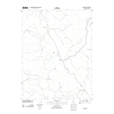
2012 Map of Longvale
USGS Topo · Published 2012About this map
Longvale serves as the central hub of this Northern California landscape, where Long Valley Cr meets Outlet Cr. This 2012 survey illustrates the winding path of modern transit alongside early ranching holdings such as Munson Ranch and Stemple Ranch. The map captures a transition from the narrow valley floor to the high elevations of Shimmin Ridge and the distinct landmark of Sam Watt Rock. To the southwest, Sherwood Valley opens up, accessed by the Sherwood Rd and Sherwood Rancheria Rd, suggesting the historical connections between these upland basins and the larger settlements. The intricate network of waterways, including Dutch Henry Cr and Curly Cow Cr, underscores the terrain's complexity, while the small settlement of Arnold marks the approach to Reeves Canyon in the southeast.
Find a feature on this map
37 named features on this map. Tap any name to fly to it.
Don’t see what you’re looking for? This feature index may not catch every label — zoom into the map to look around manually.
Map Details
Editions of this 2012 Longvale Map
This is the sole edition of this map. No revisions or reprints were ever made.
Other maps of this area

1920 · Glenblair
USGS Topo · 1:62,500

1921 · Branscomb
USGS Topo · 1:62,500

1922 · Willits
USGS Topo · 1:62,500

1942 · Willits
USGS Topo · 1:62,500

1943 · Glenblair
USGS Topo · 1:62,500

1944 · Willits
USGS Topo · 1:62,500

1951 · Branscomb
USGS Topo · 1:62,500

1951 · Laytonville
USGS Topo · 1:62,500

1957 · Ukiah
USGS Topo · 1:250,000

1960 · Ukiah
USGS Topo · 1:250,000