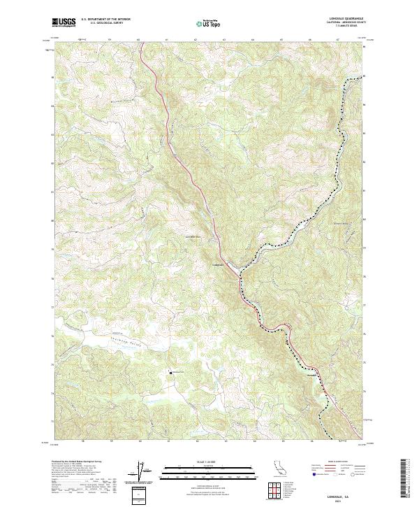
2021 Map of Longvale
USGS Topo · Published 2021About this map
Sherwood Valley serves as a prominent geographic hub in this part of Mendocino County, where the transition from high ridgelines to alluvial flats is clearly defined. The settlement of Longvale sits at the junction of Long Valley Creek and the arterial Covelo Road, acting as a gateway toward the northern reaches of the county. Further south, the community of Arnold marks a key point along the transportation corridor that parallels the meandering course of Outlet Creek.
Find a feature on this map
51 named features on this map. Tap any name to fly to it.
Don’t see what you’re looking for? This feature index may not catch every label — zoom into the map to look around manually.
Map Details
Editions of this 2021 Longvale Map
This is the sole edition of this map. No revisions or reprints were ever made.
Other maps of this area

1920 · Glenblair
USGS Topo · 1:62,500

1921 · Branscomb
USGS Topo · 1:62,500

1922 · Willits
USGS Topo · 1:62,500

1942 · Willits
USGS Topo · 1:62,500

1943 · Glenblair
USGS Topo · 1:62,500

1944 · Willits
USGS Topo · 1:62,500

1951 · Branscomb
USGS Topo · 1:62,500

1951 · Laytonville
USGS Topo · 1:62,500

1957 · Ukiah
USGS Topo · 1:250,000

1960 · Ukiah
USGS Topo · 1:250,000