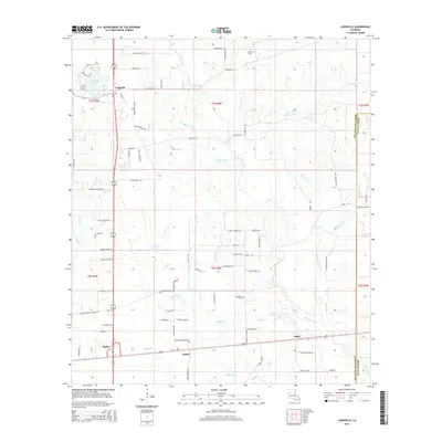
2015 Map of Longville
USGS Topo · Published 2015About this map
The settlement of Longville and its namesake Longville Lake anchor the northwestern portion of this 2015 study of the Louisiana timberlands near the boundary of Beauregard and Allen Parishes. The landscape is defined by an intricate network of waterways, including Barnes Creek, Brushy Cr, and Hurricane Cr, which cut through the low-lying terrain. The road network reflects a mix of traditional rural routes and modern residential development, most notably seen in the space-themed street names like Solar Loop, Space Walk Loop, and Pluto Loop north of the town center.
Find a feature on this map
89 named features on this map. Tap any name to fly to it.
Don’t see what you’re looking for? This feature index may not catch every label — zoom into the map to look around manually.
Map Details
Editions of this 2015 Longville Map
This is the sole edition of this map. No revisions or reprints were ever made.
Other maps of this area

1935 · Gordon
USGS Topo · 1:31,680

1935 · Gaytine
USGS Topo · 1:31,680

1935 · Longville
USGS Topo · 1:31,680

1947 · Gaytine
USGS Topo · 1:31,680

1947 · Kernan
USGS Topo · 1:31,680

1947 · Reeves
USGS Topo · 1:31,680

1947 · Longville
USGS Topo · 1:31,680

1947 · Thompson Bluff
USGS Topo · 1:31,680

1947 · Bundick
USGS Topo · 1:31,680

1947 · Beckwith School
USGS Topo · 1:31,680