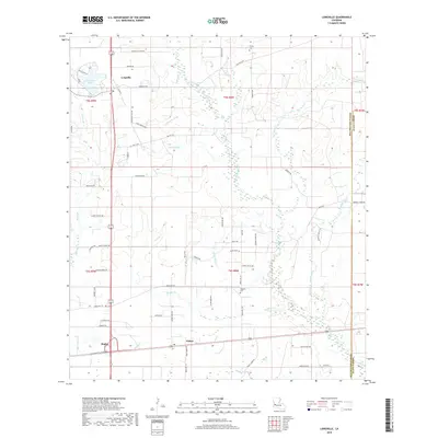
2018 Map of Longville
USGS Topo · Published 2018About this map
Longville and the nearby communities of Fulton and Ragley anchor this portion of the Louisiana piney woods, where a complex network of waterways defines the low-lying landscape. The area is characterized by numerous small drainage systems, including Barnes Creek, Hurricane Cr, and Brushy Cr, which snake through the timbered terrain. Notable for local family researchers, the map includes sites like Frusha Cem in the north and Magnolia Cem further south. The presence of Longville Lake and specialized local roads such as Longville Acres Rd and Jim Winkler Rd suggest a transition from traditional rural land use toward residential development. This 2018 survey documents the persistent rural character of Beauregard Parish near the Allen Parish boundary, providing a clear record of established land partitions and property access points.
Find a feature on this map
67 named features on this map. Tap any name to fly to it.
Don’t see what you’re looking for? This feature index may not catch every label — zoom into the map to look around manually.
Map Details
Editions of this 2018 Longville Map
This is the sole edition of this map. No revisions or reprints were ever made.
Other maps of this area

1935 · Gordon
USGS Topo · 1:31,680

1935 · Gaytine
USGS Topo · 1:31,680

1935 · Longville
USGS Topo · 1:31,680

1947 · Gaytine
USGS Topo · 1:31,680

1947 · Kernan
USGS Topo · 1:31,680

1947 · Reeves
USGS Topo · 1:31,680

1947 · Longville
USGS Topo · 1:31,680

1947 · Thompson Bluff
USGS Topo · 1:31,680

1947 · Bundick
USGS Topo · 1:31,680

1947 · Beckwith School
USGS Topo · 1:31,680