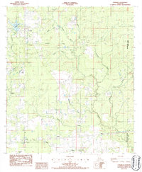
1986 Map of Longville
USGS Topo · Published 1986About this map
The settlement of Longville and the surrounding piney lowlands of the Beauregard and Allen Parish border are documented here in the mid-1980s. The landscape is defined by its industrial infrastructure and the intricate drainage of the Barnes Creek watershed. The presence of a large Oil Refinery near the eastern boundary and several Natural Gas Compressor Stations underscores the region's reliance on energy production.
Find a feature on this map
26 named features on this map. Tap any name to fly to it.
Don’t see what you’re looking for? This feature index may not catch every label — zoom into the map to look around manually.
Map Details
Editions of this 1986 Longville Map
This is the sole edition of this map. No revisions or reprints were ever made.
Other maps of this area

1935 · Gordon
USGS Topo · 1:31,680

1935 · Gaytine
USGS Topo · 1:31,680

1935 · Longville
USGS Topo · 1:31,680

1947 · Gaytine
USGS Topo · 1:31,680

1947 · Kernan
USGS Topo · 1:31,680

1947 · Reeves
USGS Topo · 1:31,680

1947 · Longville
USGS Topo · 1:31,680

1947 · Thompson Bluff
USGS Topo · 1:31,680

1947 · Bundick
USGS Topo · 1:31,680

1947 · Beckwith School
USGS Topo · 1:31,680