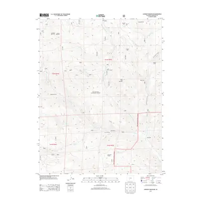
2013 Map of Lookout Mountain
USGS Topo · Published 2013About this map
Lookout Mountain and Storm King Mountain dominate this section of the Rio Grande National Forest in Saguache County. The landscape is defined by a complex network of high-altitude drainage basins, including Middle Fork Carnero Cr and S Fork Carnero Cr, which carve through deep depressions like Coolbroth Canyon and Raspberry Gulch. These watercourses create natural corridors through the La Garita Mountains, historically serving as vital routes for both early travel and modern forest management.
Find a feature on this map
37 named features on this map. Tap any name to fly to it.
Don’t see what you’re looking for? This feature index may not catch every label — zoom into the map to look around manually.
Map Details
Editions of this 2013 Lookout Mountain Map
This is the sole edition of this map. No revisions or reprints were ever made.
Other maps of this area

1914 · Creede
USGS Topo · 1:125,000

1915 · Del Norte
USGS Topo · 1:125,000

1916 · Creede
USGS Topo · 1:125,000

1917 · Del Norte
USGS Topo · 1:125,000

1945 · Durango
USGS Topo · 1:250,000

1953 · Durango
USGS Topo · 1:250,000

1954 · Durango
USGS Topo · 1:250,000

1956 · Montrose
USGS Topo · 1:250,000

1959 · Montrose
USGS Topo · 1:250,000

1960 · Montrose
USGS Topo · 1:250,000