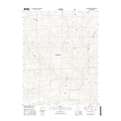
2016 Map of Lookout Mountain
USGS Topo · Published 2016About this map
Rio Grande National Forest dominates this Saguache County terrain, where the high ridges of the La Garita Mountains give way to a complex system of drainages. The landscape is defined by the three branches of Carnero Creek, which carve deep canyons and gulches as they move through the volcanic geology of the region. Lookout Mountain stands as a prominent landmark in the northwest, overlooking high-altitude basins like Mexican Park and Royal Park. This area serves as a critical watershed, supported by features like Paradise Reservoir and numerous seasonal flows such as Lost Cabin Creek and Cecilia Creek. The map shows a transition from high peaks like Storm King Mountain to the rugged lower reaches of Coolbroth Canyon and Raspberry Gulch, reflecting the varied topography utilized by hikers and forest managers alike via routes such as the North Carnero Trail.
Find a feature on this map
36 named features on this map. Tap any name to fly to it.
Don’t see what you’re looking for? This feature index may not catch every label — zoom into the map to look around manually.
Map Details
Editions of this 2016 Lookout Mountain Map
This is the sole edition of this map. No revisions or reprints were ever made.
Other maps of this area

1914 · Creede
USGS Topo · 1:125,000

1915 · Del Norte
USGS Topo · 1:125,000

1916 · Creede
USGS Topo · 1:125,000

1917 · Del Norte
USGS Topo · 1:125,000

1945 · Durango
USGS Topo · 1:250,000

1953 · Durango
USGS Topo · 1:250,000

1954 · Durango
USGS Topo · 1:250,000

1956 · Montrose
USGS Topo · 1:250,000

1959 · Montrose
USGS Topo · 1:250,000

1960 · Montrose
USGS Topo · 1:250,000