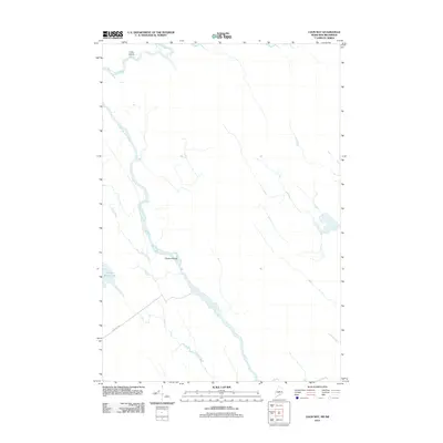
2011 Map of Loon Bay
USGS Topo · Published 2011About this map
The Saint Croix River defines the landscape of this 2011 survey along the United States and Canada border in Washington County. This waterway, historically vital for timber transport and as a boundary marker, winds through a largely undeveloped stretch of Lambert Lake Township. Significant water bodies including Hound Brook Lake and its namesake Hound Brook drain into the river system, which is punctuated by riverine features like Grassy Islands and Cedar Island. Small tributaries like Ellen Brook weave through the terrain, while the solitary Loon Bay Rd provides the primary overland access to this remote aquatic corridor.
Find a feature on this map
7 named features on this map. Tap any name to fly to it.
Don’t see what you’re looking for? This feature index may not catch every label — zoom into the map to look around manually.
Map Details
Editions of this 2011 Loon Bay Map
This is the sole edition of this map. No revisions or reprints were ever made.
Other maps of this area

1930 · Vanceboro
USGS Topo · 1:48,000

1933 · Vanceboro
USGS Topo · 1:62,500

1940 · Waite
USGS Topo · 1:62,500

1940 · Forest
USGS Topo · 1:62,500

1940 · Kellyland
USGS Topo · 1:62,500

1942 · Kellyland
USGS Topo · 1:62,500

1942 · Waite
USGS Topo · 1:62,500

1942 · Forest
USGS Topo · 1:62,500

1957 · Fredericton
USGS Topo · 1:250,000

1963 · Fredericton
USGS Topo · 1:250,000