
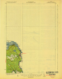
1933 Map of Vanceboro
USGS Topo · Published 1933About this map
The international border between New Brunswick, Maine and the United States and Canada defines this borderland landscape, where the Maine Central railroad serves as a vital artery through the town of Vanceboro. The local economy of the early 1930s is deeply tied to the waterways, evidenced by the numerous named river rapids or "rips" like Joe Georges Rips and Tunnel Rips along the St Croix River.
Find a feature on this map
35 named features on this map. Tap any name to fly to it.
Don’t see what you’re looking for? This feature index may not catch every label — zoom into the map to look around manually.
Map Details
Editions of this 1933 Vanceboro Map
4 editions found
Other maps of this area

1930 · Vanceboro
USGS Topo · 1:48,000

1940 · Waite
USGS Topo · 1:62,500

1940 · Forest
USGS Topo · 1:62,500

1940 · Kellyland
USGS Topo · 1:62,500

1942 · Kellyland
USGS Topo · 1:62,500

1942 · Waite
USGS Topo · 1:62,500

1942 · Forest
USGS Topo · 1:62,500

1957 · Fredericton
USGS Topo · 1:250,000

1963 · Fredericton
USGS Topo · 1:250,000
1986 · Calais
USGS Topo · 1:100,000