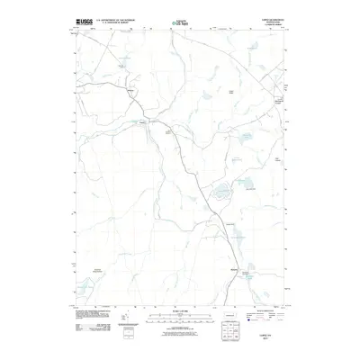
2010 Map of Lopez
USGS Topo · Published 2010About this map
Loyalsock Creek winds through the forested highlands of Sullivan County, defining the drainage patterns and early settlement of this region. The village of Lopez serves as a central point in a landscape marked by numerous small water bodies and historical industry, with remnants of logging and water management visible at Splash Dam and Creveling Lake Dam. Local heritage is anchored by sites such as Saint Vladimirs Cemetery and the family-named McCarroll Corner near the eastern boundary. The presence of Rail Rd and various secondary routes like White Ash Rd suggests the area's transition from active resource extraction to a more quiet, rural character. Further south, the settlement at Ricketts sits near the headwaters of Mehoopany Creek, illustrating the dispersed nature of human presence among features like Shumans Lake and Wild Fowl Pond.
Find a feature on this map
56 named features on this map. Tap any name to fly to it.
Don’t see what you’re looking for? This feature index may not catch every label — zoom into the map to look around manually.
Map Details
Editions of this 2010 Lopez Map
This is the sole edition of this map. No revisions or reprints were ever made.
Other maps of this area

1891 · Harveys Lake
USGS Topo · 1:62,500

1893 · Harvey Lake
USGS Topo · 1:62,500

1934 · Laporte
USGS Topo · 1:62,500

1943 · Monroeton
USGS Topo · 1:62,500

1945 · Meshoppen
USGS Topo · 1:62,500

1945 · Jenningsville
USGS Topo · 1:24,000

1946 · Dutch Mtn
USGS Topo · 1:24,000

1946 · Sweet Valley
USGS Topo · 1:24,000

1947 · Jenningsville
USGS Topo · 1:31,680
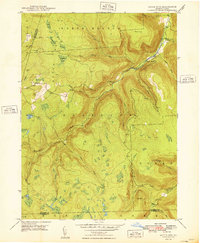
1948 · Dutch Mtn
USGS Topo · 1:24,000
Featured Places
- Colley Township, PA
- Forkston Township, PA
- Laporte Township, PA
- Lopez, Colley Township
- Ricketts, Colley Township