
1956 Map of Lorane
USGS Topo · Published 1958About this map
Glacial topography and small-town Indiana life intersect in this mid-century study of the Whitley County landscape. The village of Larwill serves as a primary hub, situated along the Pennsylvania railroad line and the historic Old Trail Road. To the north, the area is defined by a dense cluster of kettle lakes, including the expansive Goose Lake and Troy Cedar Lake, which borders the site of Camp Whitley.
Find a feature on this map
42 named features on this map. Tap any name to fly to it.
Don’t see what you’re looking for? This feature index may not catch every label — zoom into the map to look around manually.
Map Details
Editions of this 1956 Lorane Map
This is the sole edition of this map. No revisions or reprints were ever made.
Other maps of this area

1950 · Pierceton
USGS Topo · 1:24,000

1950 · North Webster
USGS Topo · 1:24,000

1951 · Ormas
USGS Topo · 1:24,000

1951 · Merriam
USGS Topo · 1:24,000

1953 · Fort Wayne
USGS Topo · 1:250,000

1955 · Columbia City
USGS Topo · 1:24,000

1956 · Fort Wayne
USGS Topo · 1:250,000
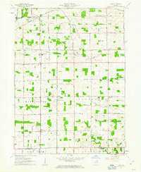
1961 · Laud
USGS Topo · 1:24,000
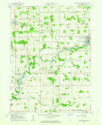
1962 · South Whitley West
USGS Topo · 1:24,000
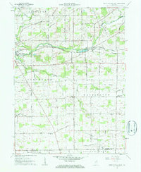
1962 · South Whitley East
USGS Topo · 1:24,000