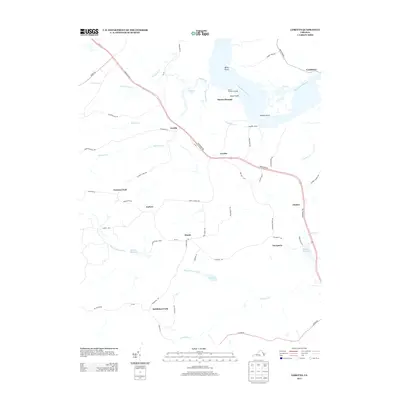
2013 Map of Loretto
USGS Topo · Published 2013About this map
The Rappahannock River defines the northern edge of this coastal Virginia landscape, where historical river access points like Saunders Wharf and Mount Pleasant Landing reflect a long-standing maritime and agricultural economy. Moving inland from points such as Ketch Point and Ritchie Point, the terrain is marked by numerous creeks and millponds, including Spindles Millpond and Hunters Millpond, which suggest early local industrial sites powered by the area's many waterways.
Find a feature on this map
59 named features on this map. Tap any name to fly to it.
Don’t see what you’re looking for? This feature index may not catch every label — zoom into the map to look around manually.
Map Details
Editions of this 2013 Loretto Map
This is the sole edition of this map. No revisions or reprints were ever made.
Other maps of this area

1889 · Fredericksburg
USGS Topo · 1:125,000

1892 · Fredericksburg
USGS Topo · 1:125,000

1892 · Montross
USGS Topo · 1:62,500

1894 · Fredericksburg
USGS Topo · 1:125,000

1895 · Nomini
USGS Topo · 1:125,000

1895 · Montross
USGS Topo · 1:62,500

1898 · Nomini
USGS Topo · 1:125,000

1918 · Tappahannock
USGS Topo · 1:62,500

1918 · Aylett
USGS Topo · 1:62,500

1919 · Tappahannock
USGS Topo · 1:62,500