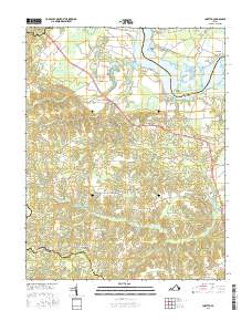
2016 Map of Loretto
USGS Topo · Published 2016About this map
Vauters Churchyard stands as a significant landmark near the center of this Virginia landscape, situated just east of the village of Iraville. The geography is defined by the winding Rappahannock River and a complex network of wetlands including Black Water Swamp and Occupacia Cr. These waterways historically supported local industry and agriculture, evidenced by several substantial impoundments such as Spindles Millpond and Hunters Millpond.
Find a feature on this map
75 named features on this map. Tap any name to fly to it.
Don’t see what you’re looking for? This feature index may not catch every label — zoom into the map to look around manually.
Map Details
Editions of this 2016 Loretto Map
This is the sole edition of this map. No revisions or reprints were ever made.
Other maps of this area

1889 · Fredericksburg
USGS Topo · 1:125,000

1892 · Fredericksburg
USGS Topo · 1:125,000

1892 · Montross
USGS Topo · 1:62,500

1894 · Fredericksburg
USGS Topo · 1:125,000

1895 · Nomini
USGS Topo · 1:125,000

1895 · Montross
USGS Topo · 1:62,500

1898 · Nomini
USGS Topo · 1:125,000

1918 · Tappahannock
USGS Topo · 1:62,500

1918 · Aylett
USGS Topo · 1:62,500

1919 · Tappahannock
USGS Topo · 1:62,500