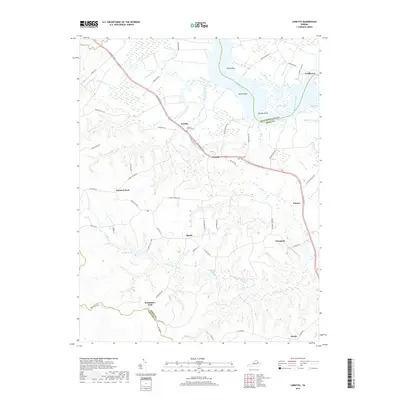
2019 Map of Loretto
USGS Topo · Published 2019About this map
Vauters Churchyard stands as a central historical landmark along the Tidewater Trl in this portion of the Virginia Tidewater. The landscape is defined by the winding Rappahannock River, where prominent points like Blind Point and Ketch Point overlook the water near Devils Reach. Inland, the settlement pattern consists of numerous small rural junctions and communities including Iraville, Loretto, Hustle, and Chance. The terrain is intricately dissected by a network of creeks and swamps, such as Black Water Swamp and Occupacia Cr, which separate the higher ground where historic roads like Clarkes Store Rd and Brookes Bank Rd connect disparate farms. Genealogists may find value in the specific locations of Carmel Cem and outlying settlements like Bethlehem Fork and Farmers Fork, which preserve the legacy of Essex County's agricultural and river-dependent development.
Find a feature on this map
71 named features on this map. Tap any name to fly to it.
Don’t see what you’re looking for? This feature index may not catch every label — zoom into the map to look around manually.
Map Details
Editions of this 2019 Loretto Map
This is the sole edition of this map. No revisions or reprints were ever made.
Other maps of this area

1889 · Fredericksburg
USGS Topo · 1:125,000

1892 · Fredericksburg
USGS Topo · 1:125,000

1892 · Montross
USGS Topo · 1:62,500

1894 · Fredericksburg
USGS Topo · 1:125,000

1895 · Nomini
USGS Topo · 1:125,000

1895 · Montross
USGS Topo · 1:62,500

1898 · Nomini
USGS Topo · 1:125,000

1918 · Tappahannock
USGS Topo · 1:62,500

1918 · Aylett
USGS Topo · 1:62,500

1919 · Tappahannock
USGS Topo · 1:62,500