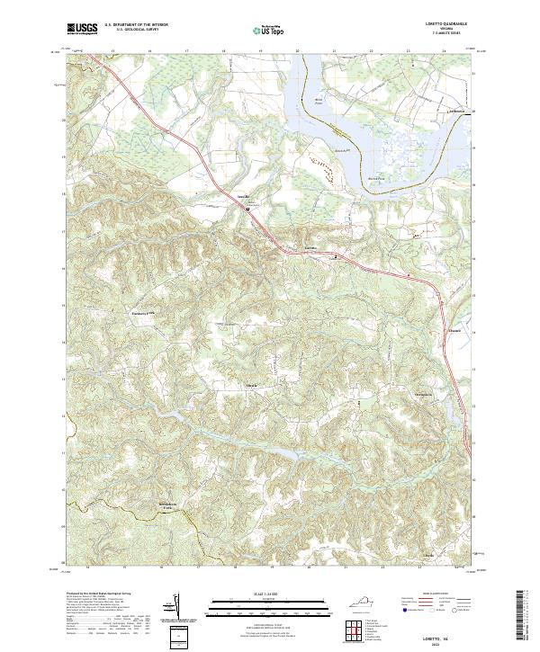
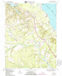
2022 Map of Loretto
USGS Topo · Published 2022About this map
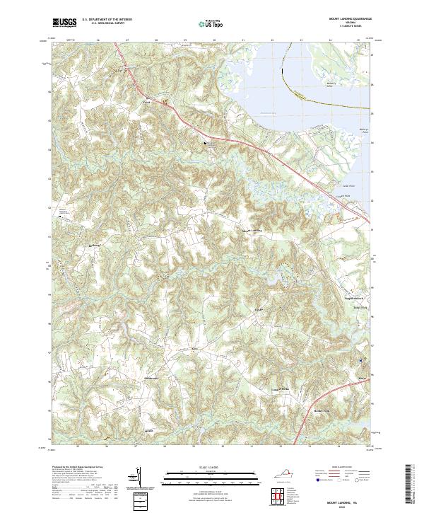
Vauters Churchyard stands as a focal point near Iraville, anchoring a landscape defined by the winding Rappahannock River and the extensive wetlands of the Northern Neck. The transition from the high grounds of Farmers Fork and Hustle down to the water is marked by numerous creeks and marshlands, including Drakes Marsh and Otterburn Marsh. The map reveals a pattern of rural settlement and agriculture structured around historically significant corridors like the Tidewater Trl, which connects several crossroad communities such as Loretto and Chance.
Find a feature on this map
71 named features on this map. Tap any name to fly to it.
Don’t see what you’re looking for? This feature index may not catch every label — zoom into the map to look around manually.
Map Details
Editions of this 2022 Loretto Map
This is the sole edition of this map. No revisions or reprints were ever made.
Historical Maps of Farmers Fork Through Time
13 maps found
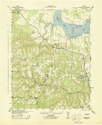
1942 Occupacia
Essex County, VA
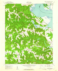
1943 Champlain
Essex County, VA
1944 Dunnsville
Essex County, VA
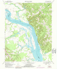
1944 Mount Landing
Essex County, VA
1949 Occupacia
Essex County, VA
1968 Champlain
Essex County, VA
1968 Dunnsville
Essex County, VA
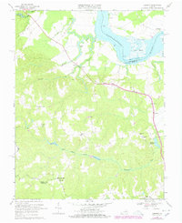
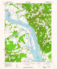
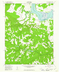
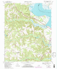
1968 Loretto
Essex County, VA
1968 Mount Landing
Essex County, VA
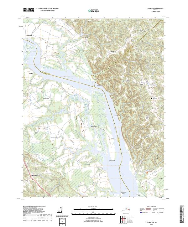
2022 Champlain
Essex County, VA
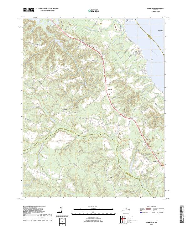
2022 Dunnsville
Essex County, VA
2022 Loretto
Essex County, VA
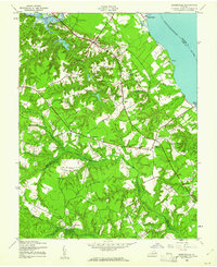
2022 Mount Landing
Essex County, VA