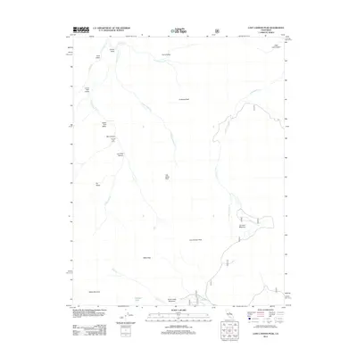
2012 Map of Lost Cannon Peak
USGS Topo · Published 2012About this map
Connells Cow Camp sits tucked within the high-elevation drainages of this Alpine County landscape, serving as a rare marker of human activity in an area dominated by sharp peaks and alpine valleys. The region is defined by a series of prominent summits, including Lost Cannon Peak, Antelope Peak, and White Mountain, which wall in the complex hydrology of Silver King Cr and Lost Cannon Cr. This terrain demonstrates a classic high-country meadow and valley system, where Silver Creek Meadows and Summit Meadow provide open stretches of land between steep ridges. The presence of Llewellyn Falls and Chango Lake highlights the glacial and fluvial processes that have shaped this portion of the Sierra Nevada. To the north, Corral Valley and Coyote Valley create a natural corridor through the highlands, illustrating the traditional pathways through which seasonal livestock and water move across this rugged interior.
Find a feature on this map
31 named features on this map. Tap any name to fly to it.
Don’t see what you’re looking for? This feature index may not catch every label — zoom into the map to look around manually.
Map Details
Editions of this 2012 Lost Cannon Peak Map
This is the sole edition of this map. No revisions or reprints were ever made.
Other maps of this area

1889 · Markleeville
USGS Topo · 1:125,000

1891 · Markleeville
USGS Topo · 1:125,000

1891 · Wellington
USGS Topo · 1:125,000

1893 · Markleeville
USGS Topo · 1:125,000

1893 · Wellington
USGS Topo · 1:125,000

1896 · Dardanelles
USGS Topo · 1:125,000

1898 · Dardanelles
USGS Topo · 1:125,000

1909 · Bridgeport
USGS Topo · 1:125,000

1911 · Bridgeport
USGS Topo · 1:125,000

1920 · Bridgeport
USGS Topo · 1:125,000